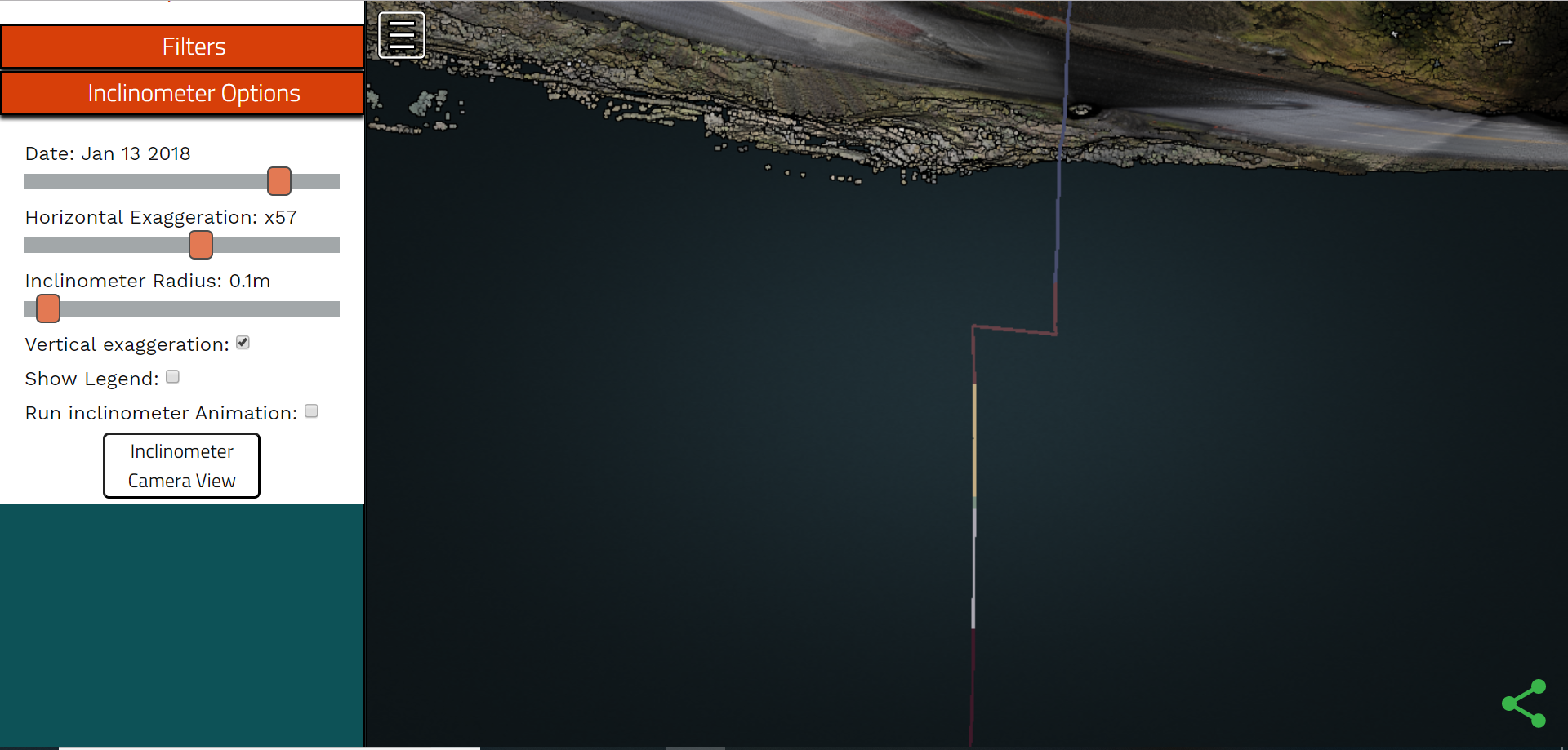
In geotechnical engineering real time inclinometers are a commonly used tool in landslide exploration, monitoring and mitigation. This consists of the installation of an array of accelerometers into a borehole drilled 10s to 100s of feet deep on an active landslide. By connecting this system to a wireless modem real time landslide displacement information across depth can be reported. See measurand as an example.
As lidar and other remote sensing data becomes increasingly used for landslide monitoring applications, there is a need to integrate the visualization of both remote sensing and geotechnical sensor data into a single viewer. For this project, I created a web viewer using potree and three.js that enables viewing the inclinometer data (including the geologic bore log data) along with the lidar pointcloud.
 Screenshot showing visualization of the inclinometer within a webGL web viewer
A demo of the viewer using data from the Hooskanaden landslide can be found here.